South Lake Leelanau Boat Rental
Leelanau County
South Lake Leelanau is separated from North Lake Leelanau by the Leelanau Narrows - a small pinch of water spanned by M-204 and the township of Lake Leelanau.
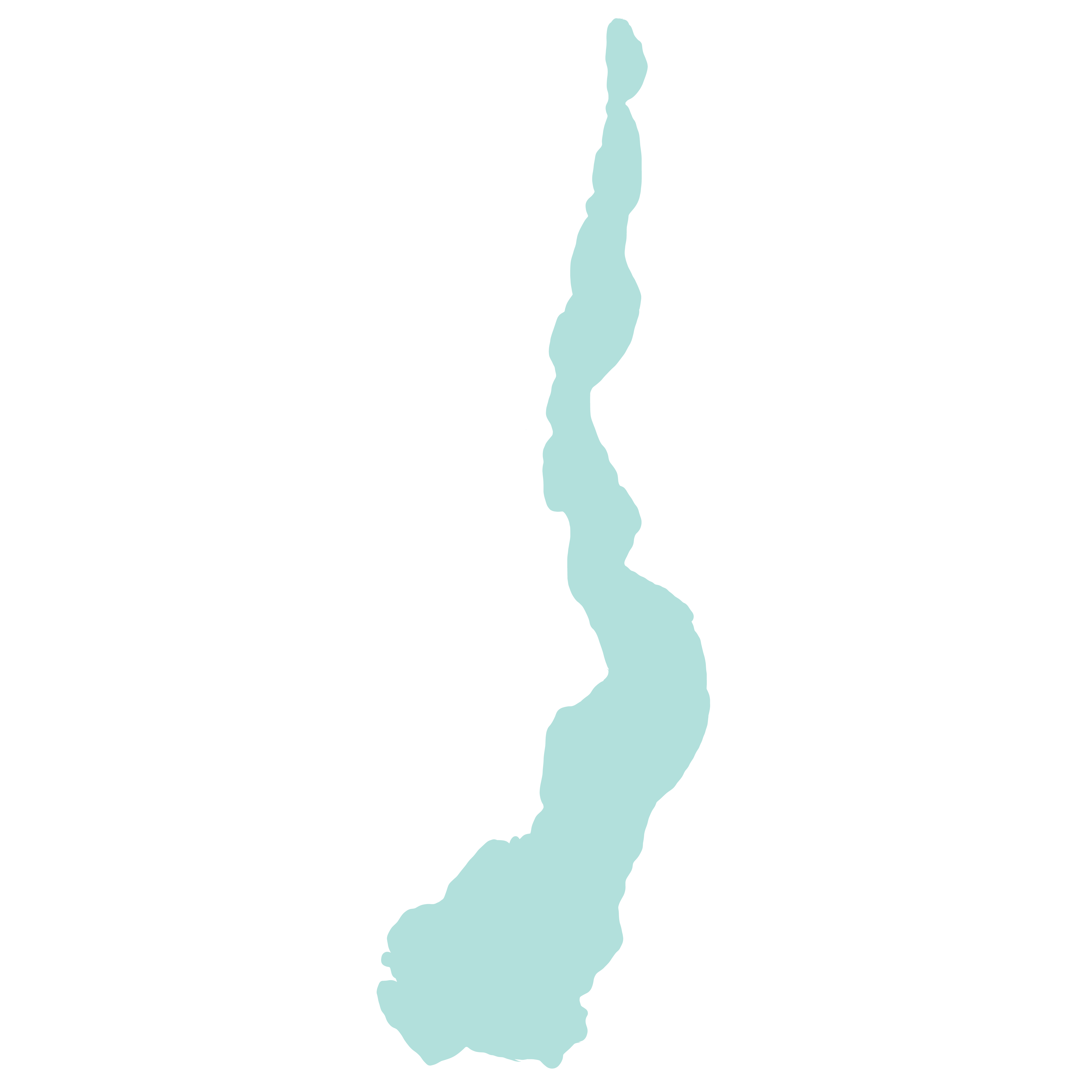
Just how big is South Lake Leelanau? South Lake Leelanau is long and narrow - TWICE as long as its North Lake Leelanau, but half as deep! Boating and tubing on this long lake is a great way to spend your summer!
Exactly how long is South Lake Leelanau? Together with North and South Lake Leelanau, Lake Leelanau is 23 miles and three times as long as it is wide! Wide open and one of the prettiest lakes in Michigan, South Lake Leelanau is only 1 mile away from Lake Michigan via the Leland River - home of historic Fishtown Fishing Village.
Is Lake Leelanau man-made? The lake has a long past and was dramatically changed in 1853 when the Village of Leland was founded. Lake Leelanau's landscape has changed since 15,000 B.C., back then it was covered by ice over a mile thick! Melting glaciers crept forward, carving out the depressions in the earth. This created Lake Leelanau, which actually first began as a shallow bay of Lake Michigan.
Lake Leelanau's landscape was altered in 1852, when Antoine Manseau laid claim to the land, including a creek that drained Lake Leelanau. In 1853 Manseau built a dam and sawmill, drastically raising the water level of Lake Leelanau by 12 feet! The dam created a large narrow passageway, which we know today as The Narrows.
Is Lake Leelanau spring fed? The answer is, yes! Groundwater springs are responsible for much of Lake Leelanau's source flow.
You can swim in Lake Leelanau and the open, long landscape is perfect for family boating and jet skiing. Check out the public beach and maps below to help plan a day of swimming and kayaking on Lake Leelanau. Although Lake Leelanau is connected to Lake Michigan, the Leland Dam won't allow you to go any further than the end of the Leland River, which flows out into Lake Michigan.
What is the temperature of Lake Leelanau? During peak summer, the water can warm up to the mid to high seventies, but South Lake Leelanau tends to have a slightly warmer temperature than North Lake Leelanau since it's the deeper side of the Lake Leelanau.
South Lake Leelanau Maps:
Lake Leelanau Public Beach:
Nedows Bay Beach
Lake Leelanau is best accessed by boat, but if you're looking for a public beach, you can relax at this family-friendly public beach on Lake Leelanau. Nedows Bay Beach is located at 1221 Juniper Trail, Leland MI at the end of Pearl Street in Leland.
Places to visit near South Lake Leelanau:
Just to Name a Few…
The Clay Cliffs Natural Area
This is one of our favorite scenic, secluded places to explore by paddleboard and jet ski. The towering, fragile bluffs of Clay Cliffs are not accessible by hiking and hikers can only view from the overlook at a safe distance. However, you can get an enviable up-close view by boat or paddleboard! This natural area features stunning panoramic views and 1,700 feet of shoreline on both Lake Leelanau and Lake Michigan.